


GR34-EtapeVI-J06

JMCMoreau
User

Length
18.8 km

Max alt
48 m

Uphill gradient
315 m
Km-Effort
23 km

Min alt
0 m

Downhill gradient
314 m
Boucle
No
Creation date :
2022-12-20 05:23:53.069
Updated on :
2022-12-20 05:25:12.577
5h30
Difficulty : Difficult

FREE GPS app for hiking
 SityTrail
IGN / Geographical institutes
SityTrail Plus
The world is yours!
About
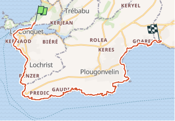
Trail Walking of 18.8 km to be discovered at Brittany, Finistère, Le Conquet. This trail is proposed by JMCMoreau.
Positioning
Country:
France
Region :
Brittany
Department/Province :
Finistère
Municipality :
Le Conquet
Location:
Unknown
Start:(Dec)
Start:(UTM)
369339 ; 5358428 (30U) N.
Comments